MapsFi Sensor Tracking
An innovative full-stack platform for monitoring remote sensor networks, combining satellite and cellular connectivity to provide cost-effective environmental and infrastructure monitoring solutions. The system features an intuitive dashboard for real-time data visualization, automated sensor integration, and public/private data sharing capabilities.

The Challenge
Traditional remote monitoring solutions are often complex to deploy, expensive to maintain, and limited by connectivity options. Organizations like WYDOT and environmental agencies need a more accessible, cost-effective way to monitor remote assets and collect environmental data. Additionally, existing solutions typically lack user-friendly interfaces and flexible data sharing options.
The Solution
Developed a comprehensive monitoring platform that revolutionizes remote sensor deployment and management. The system features a streamlined sensor registration process using unique sensor IDs and codes for instant configuration. Built using React and Node.js for the frontend with Django and PostgreSQL handling the backend, the platform supports both NTN satellite and cellular connectivity to ensure reliable data transmission from any location. Implemented a dual-dashboard system allowing organizations to maintain private sensor networks while selectively sharing data through a public interface.
Key Results
Created a user-friendly sensor management system with one-step configuration process
Designed a scalable architecture supporting multiple sensor types including traffic counters, weather stations, and environmental monitors
Implemented a flexible public/private dashboard system enabling selective data sharing
Developed comprehensive planning for cost-effective NTN satellite and cellular connectivity integration
Established a foundation for wide-scale deployment across various state and environmental organizations
Project Gallery


Technologies Used
Related Projects & Companies
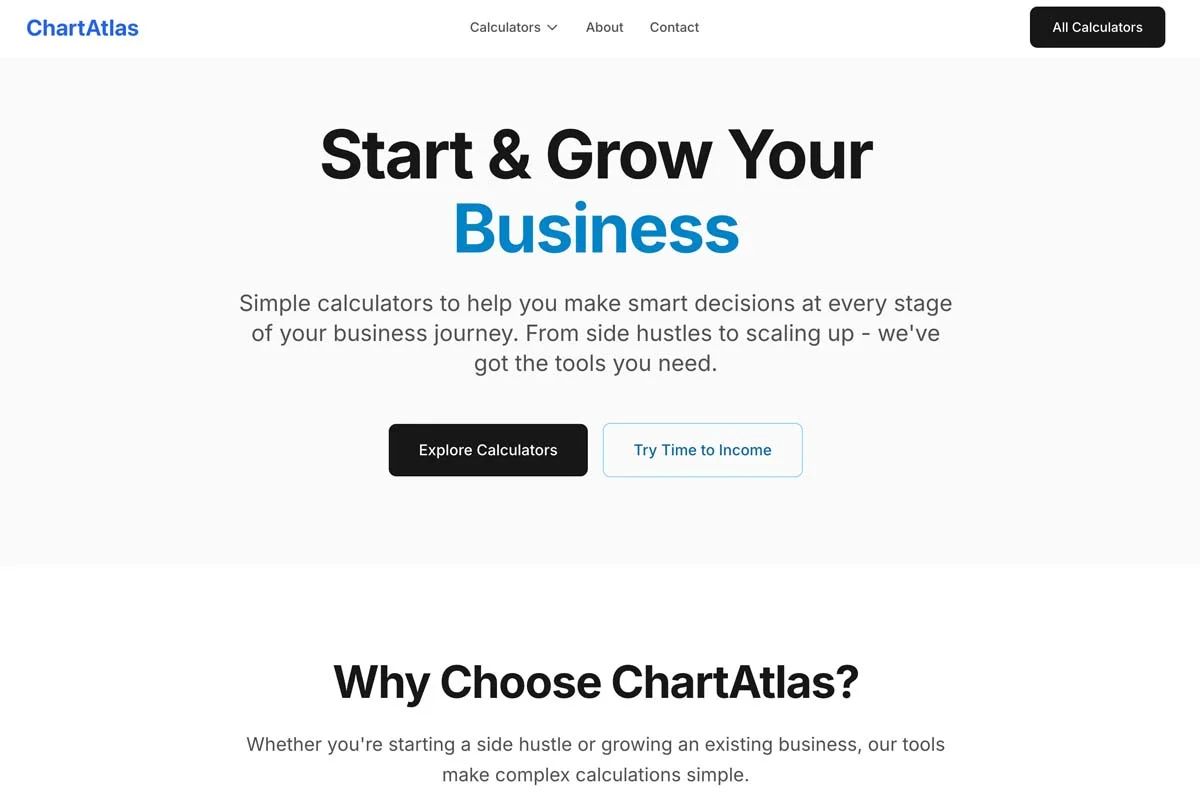
ChartAtlas
Comprehensive collection of browser-based business calculators for niche and side hustle opportunities.

Wyoming State Budget Visualization
Interactive budget visualization tool that forecasts Wyoming state budget scenarios 20 years into the future, showing potential surpluses and deficits using CBEA's economic analysis results.
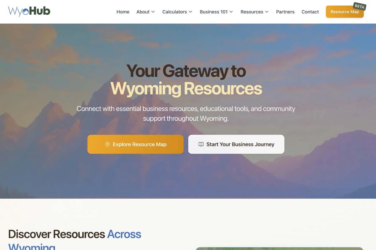
WyoHub
Free resource platform for Wyoming startup founders and business owners, powered by EcosAtlas's AI database.

Small Business Websites
WordPress-based solutions for over 15 small businesses, focusing on affordable yet marketable websites. Specializing in high-converting designs for various industries including home inspection, maritime services, GPS technology, and real estate, while also offering modern Next.js solutions for more interactive requirements.