Large Property Mapping & Contour
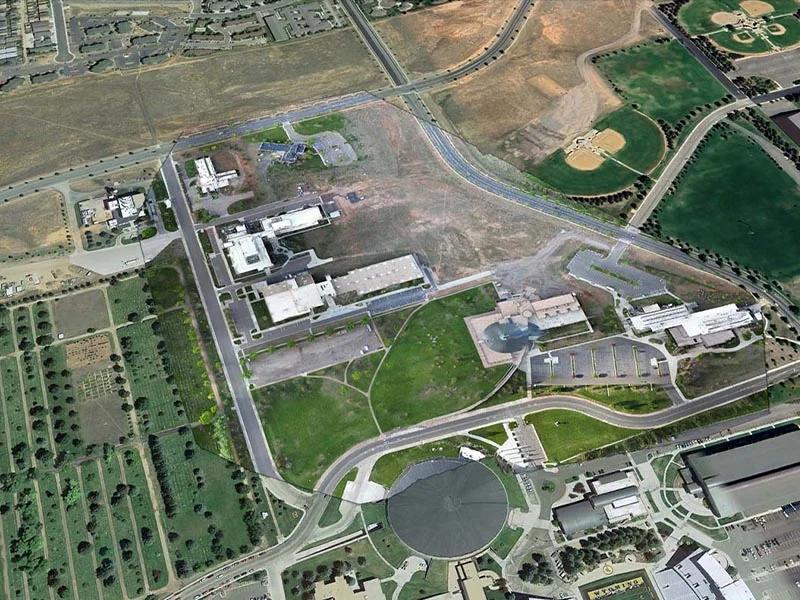
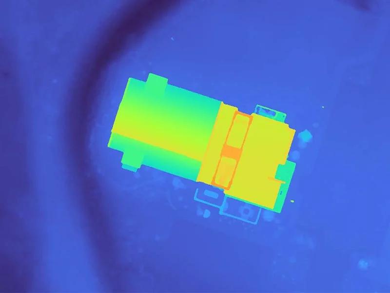
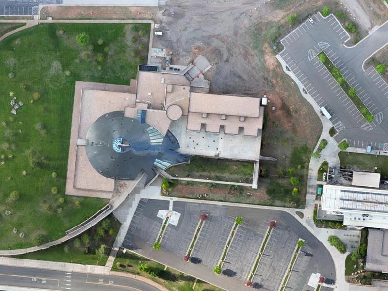
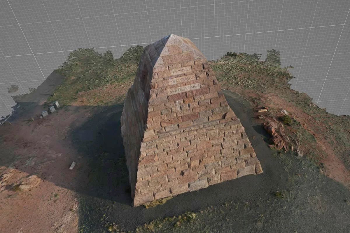
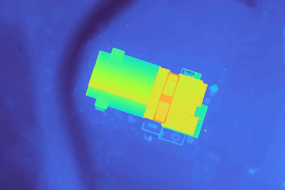
Detailed aerial surveys and contour mapping for large property areas, achieving up to ~3cm/pixel resolution. The system produces comprehensive topographical data including digital surface models (DSM), digital terrain models (DTM), and precise contour maps for real estate and surveying applications.
The Challenge
Traditional property surveying methods are time-consuming and expensive. Clients needed a faster, more cost-effective way to obtain accurate topographical data for land planning and development.
The Solution
Developed a streamlined drone mapping workflow using a DJI Mini 3 Pro and OpenDroneMapping software. The process captures high-resolution aerial imagery and processes it into various mapping products including DSM/DTM maps and contour lines at ~3cm/pixel accuracy.
Key Results
Produced highly accurate topographic maps and contour data
Generated comprehensive digital surface and terrain models
Created scalable mapping solutions for real estate and surveying industries
Established efficient workflow for rapid turnaround times
Delivered cost-effective alternatives to traditional surveying methods
Project Gallery